top of page

Crookwell Aerodrome
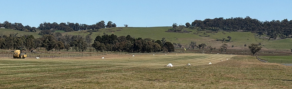
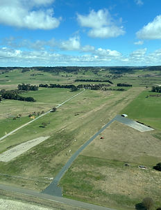
Located on Kialla Road, Crookwell Aerodrome welcomes visiting pilots and supports general and recreational aviation in our community. The aerodrome is an unlicensed, unmanned landing area managed by the Upper Lachlan Shire Council.
Click on the button below to view the Upper Lachlan Shire Councils Management Plan.
Aerodrome Overview
Location: Kialla Road, Crookwell
Land Title: Lot 417 DP 754115 & Lot 421 DP 275517
Runway: 915 m long x 51 m wide, grass surface
Elevation: 2,950 ft (900m)
Surface: Compacted natural soil
Slope: Downhill to the West
Orientation: East-West
Facility Type: Unlicensed, unmanned landing area
Wind Indicators: East (white sock), West (yellow sock)
Markers: Runway edge markers and end boards.



bottom of page